
Nandgaon topographic map
Interactive map
Click on the map to display elevation.
About this map
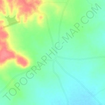
Name: Nandgaon topographic map, elevation, terrain.
Location: Nandgaon, Athani taluku, Belgaum district, Karnataka, India (16.66160 75.10699 16.70160 75.14699)
Average elevation: 572 m
Minimum elevation: 547 m
Maximum elevation: 619 m