
Magadi topographic map
Interactive map
Click on the map to display elevation.
About this map
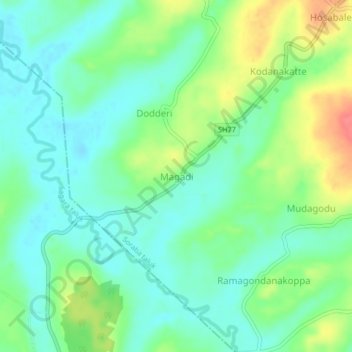
Name: Magadi topographic map, elevation, terrain.
Location: Magadi, Soraba taluk, Shimoga district, Karnataka, India (14.27781 75.00687 14.31781 75.04687)
Average elevation: 579 m
Minimum elevation: 558 m
Maximum elevation: 621 m