
Iringal topographic map
Interactive map
Click on the map to display elevation.
About this map
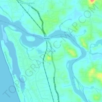
Name: Iringal topographic map, elevation, terrain.
Location: Iringal, Koyilandi, Kozhikode, Kerala, 673521, India (11.53926 75.59096 11.57926 75.63096)
Average elevation: 10 m
Minimum elevation: -3 m
Maximum elevation: 64 m