
Bhavani topographic map
Interactive map
Click on the map to display elevation.
Bhavani
Bhavani is located at 11°27′N 77°41′E / 11.45°N 77.68°E / 11.45; 77.68. It has an average elevation of 193 metres (633 feet). It lies at the confluence of the rivers Kaveri, the largest river in Tamil Nadu and Bhavani, the second largest river in Tamil Nadu, with the invisible mystic Sarasvati River. Hence this place is known as the Triveni Sangam of South. The Sangameswarar Temple dedicated to Lord Shiva, built at the confluence of these rivers, is a sacred place for Hindus. The temple is located on the northern bank where the rivers meet. The five hill temples of this area such as Sankari, Tiruchengode, Padmagiri, Mangalagiri and Vedagiri are surrounding this Temple.
About this map
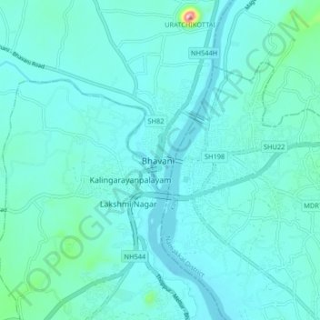
Name: Bhavani topographic map, elevation, terrain.
Location: Bhavani, Erode district, Tamil Nadu, 638300, India (11.40071 77.64293 11.48071 77.72293)
Average elevation: 180 m
Minimum elevation: 151 m
Maximum elevation: 418 m