
Sector 22 topographic map
Interactive map
Click on the map to display elevation.
About this map
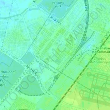
Name: Sector 22 topographic map, elevation, terrain.
Location: Sector 22, Dwarka, Delhi Cantonment, New Delhi, Delhi, India (28.55022 77.05060 28.56515 77.06358)
Average elevation: 216 m
Minimum elevation: 210 m
Maximum elevation: 221 m
Other topographic maps
Click on a map to view its topography, its elevation and its terrain.