
Khanot topographic map
Interactive map
Click on the map to display elevation.
About this map
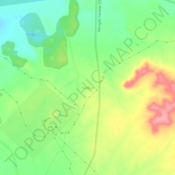
Name: Khanot topographic map, elevation, terrain.
Location: Khanot, Lakhpat Taluka, Kutch District, Gujarat, 370627, India (23.64901 68.77248 23.68901 68.81248)
Average elevation: 59 m
Minimum elevation: 13 m
Maximum elevation: 121 m