
Sector 19 topographic map
Interactive map
Click on the map to display elevation.
About this map
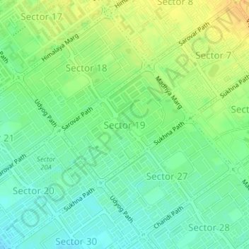
Name: Sector 19 topographic map, elevation, terrain.
Location: Sector 19, Ward 17, Chandigarh, 160019, India (30.72197 76.78483 30.73470 76.80140)
Average elevation: 346 m
Minimum elevation: 333 m
Maximum elevation: 362 m
Other topographic maps
Click on a map to view its topography, its elevation and its terrain.