
Kawas topographic map
Interactive map
Click on the map to display elevation.
About this map
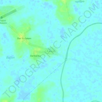
Name: Kawas topographic map, elevation, terrain.
Location: Kawas, Boké, Guinea (10.62530 -14.53081 10.66530 -14.49081)
Average elevation: 4 m
Minimum elevation: -4 m
Maximum elevation: 16 m