
Jogipet topographic map
Interactive map
Click on the map to display elevation.
About this map
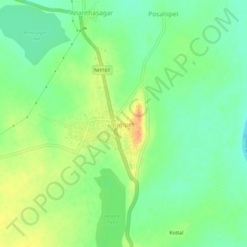
Name: Jogipet topographic map, elevation, terrain.
Location: Jogipet, Andole mandal, Sangareddy, Telangana, 502270, India (17.81683 78.05315 17.85683 78.09315)
Average elevation: 494 m
Minimum elevation: 477 m
Maximum elevation: 517 m
Other topographic maps
Click on a map to view its topography, its elevation and its terrain.