
Anthiyur topographic map
Interactive map
Click on the map to display elevation.
About this map
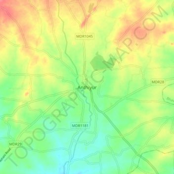
Name: Anthiyur topographic map, elevation, terrain.
Location: Anthiyur, Erode district, Tamil Nadu, 638502, India (11.53529 77.54860 11.61529 77.62860)
Average elevation: 227 m
Minimum elevation: 199 m
Maximum elevation: 261 m
Anthiyur is located at 11°35′N 77°36′E / 11.58°N 77.60°E / 11.58; 77.60. It has an average elevation of 251 m (823 ft). It is located about 18 km from Bhavani ,30 km from Erode and 93.7 km from Coimbatore.