
Mardol topographic map
Interactive map
Click on the map to display elevation.
About this map
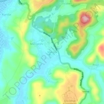
Name: Mardol topographic map, elevation, terrain.
Location: Mardol, Ponda, South Goa District, Goa, 403404, India (15.42149 73.95357 15.46149 73.99357)
Average elevation: 56 m
Minimum elevation: -1 m
Maximum elevation: 183 m
Other topographic maps
Click on a map to view its topography, its elevation and its terrain.