
Bhujodi topographic map
Interactive map
Click on the map to display elevation.
About this map
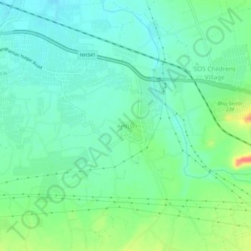
Name: Bhujodi topographic map, elevation, terrain.
Location: Bhujodi, Bhuj Taluka, Kutch District, Gujarat, 370020, India (23.20484 69.71458 23.24484 69.75458)
Average elevation: 110 m
Minimum elevation: 94 m
Maximum elevation: 148 m