
Lago Vista topographic map
Interactive map
Click on the map to display elevation.
About this map
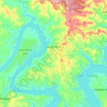
Name: Lago Vista topographic map, elevation, terrain.
Location: Lago Vista, Travis County, Texas, United States (30.39919 -98.03744 30.50717 -97.95484)
Average elevation: 251 m
Minimum elevation: 196 m
Maximum elevation: 388 m