
54F topographic map
Interactive map
Click on the map to display elevation.
About this map
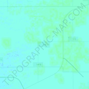
Name: 54F topographic map, elevation, terrain.
Location: 54F, Karanpur Tehsil, Sri Ganganagar, Rajasthan, India (29.75324 73.39863 29.79324 73.43863)
Average elevation: 166 m
Minimum elevation: 164 m
Maximum elevation: 168 m