
Gangyasar topographic map
Interactive map
Click on the map to display elevation.
About this map
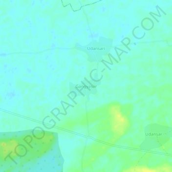
Name: Gangyasar topographic map, elevation, terrain.
Location: Gangyasar, Fatehpur Tehsil, Sikar, Rajasthan, India (27.97110 75.00044 28.01110 75.04044)
Average elevation: 332 m
Minimum elevation: 326 m
Maximum elevation: 345 m