
Bahleal topographic map
Interactive map
Click on the map to display elevation.
About this map
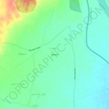
Name: Bahleal topographic map, elevation, terrain.
Location: Bahleal, Bhimber District, Azad Kashmir, Pakistan (32.81546 74.38540 32.85546 74.42540)
Average elevation: 274 m
Minimum elevation: 260 m
Maximum elevation: 307 m