
Sopore topographic map
Interactive map
Click on the map to display elevation.
About this map
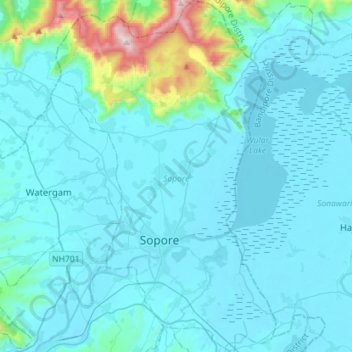
Name: Sopore topographic map, elevation, terrain.
Location: Sopore, Baramulla District, Jammu and Kashmir, India (34.21141 74.37899 34.44672 74.55683)
Average elevation: 1,683 m
Minimum elevation: 1,572 m
Maximum elevation: 2,783 m