
Bannerughatta topographic map
Interactive map
Click on the map to display elevation.
About this map
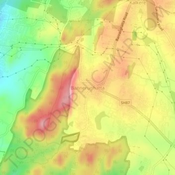
Name: Bannerughatta topographic map, elevation, terrain.
Location: Bannerughatta, Bangalore Urban, Karnataka, India (12.79334 77.55895 12.83334 77.59895)
Average elevation: 918 m
Minimum elevation: 835 m
Maximum elevation: 989 m