
Deoband topographic map
Interactive map
Click on the map to display elevation.
About this map
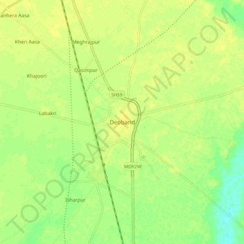
Name: Deoband topographic map, elevation, terrain.
Location: Deoband, Saharanpur, Uttar Pradesh, 247554, India (29.65349 77.63799 29.73349 77.71799)
Average elevation: 257 m
Minimum elevation: 245 m
Maximum elevation: 262 m