
Mahuli topographic map
Interactive map
Click on the map to display elevation.
About this map
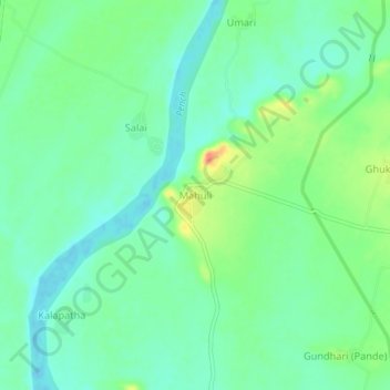
Name: Mahuli topographic map, elevation, terrain.
Location: Mahuli, Nagpur, Maharashtra, India (21.39416 79.16688 21.43416 79.20688)
Average elevation: 309 m
Minimum elevation: 292 m
Maximum elevation: 343 m