
Narsapur topographic map
Interactive map
Click on the map to display elevation.
About this map
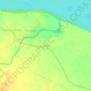
Name: Narsapur topographic map, elevation, terrain.
Location: Narsapur, Mulugu, Telangana, India (18.22607 80.50466 18.26607 80.54466)
Average elevation: 77 m
Minimum elevation: 60 m
Maximum elevation: 92 m
Other topographic maps
Click on a map to view its topography, its elevation and its terrain.