
Pandy topographic map
Interactive map
Click on the map to display elevation.
About this map
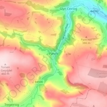
Name: Pandy topographic map, elevation, terrain.
Location: Pandy, Wrexham, Wales, LL20 7NY, United Kingdom (52.89475 -3.21814 52.93475 -3.17814)
Average elevation: 336 m
Minimum elevation: 148 m
Maximum elevation: 464 m