
Mount Foraker topographic map
Interactive map
Click on the map to display elevation.
About this map
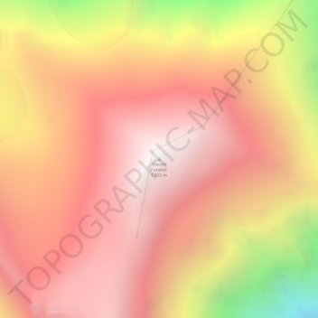
Name: Mount Foraker topographic map, elevation, terrain.
Location: Mount Foraker, Denali, Alaska, United States (62.96046 -151.39870 62.96056 -151.39860)
Average elevation: 4,650 m
Minimum elevation: 3,391 m
Maximum elevation: 5,298 m
Other topographic maps
Click on a map to view its topography, its elevation and its terrain.
Denali National Park
United States > Alaska > Denali
Denali National Park, Denali, Alaska, United States
Average elevation: 833 m
Alaska Range
United States > Alaska > Denali
Alaska Range, Denali, Alaska, United States
Average elevation: 5,076 m