
Sinhagad topographic map
Click on the map to display elevation.
About this map
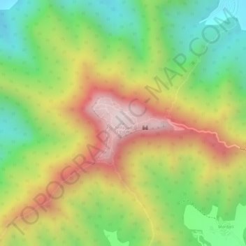
Name: Sinhagad topographic map, elevation, terrain.
Location: Sinhagad, Haveli, Pune District, Maharashtra, 415115, India (18.36514 73.75494 18.36524 73.75504)
Average elevation: 994 m
Minimum elevation: 691 m
Maximum elevation: 1,317 m
Other topographic maps
Click on a map to view its topography, its elevation and its terrain.