
Kanjikode topographic map
Interactive map
Click on the map to display elevation.
About this map
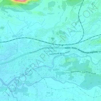
Name: Kanjikode topographic map, elevation, terrain.
Location: Kanjikode, Pālghāt, Palghat, Kerala, 678622, India (10.77825 76.73006 10.81825 76.77006)
Average elevation: 117 m
Minimum elevation: 97 m
Maximum elevation: 303 m