
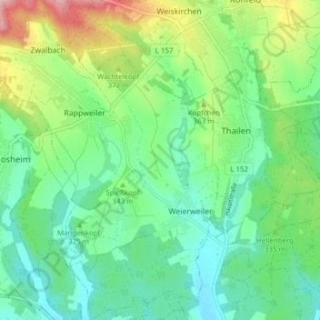
Weierweiler topographic map
Interactive map
Click on the map to display elevation.
About this map
Name: Weierweiler topographic map, elevation, terrain.
Average elevation: 337 m
Minimum elevation: 277 m
Maximum elevation: 479 m
Other topographic maps
Click on a map to view its topography, its elevation and its terrain.
Rappweiler
Deutschland > Saarland > Landkreis Merzig-Wadern > Weiskirchen
Rappweiler, Weiskirchen, Landkreis Merzig-Wadern, Saarland, Deutschland
Average elevation: 389 m