
Achampet topographic map
Interactive map
Click on the map to display elevation.
About this map
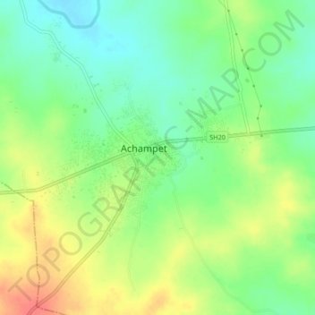
Name: Achampet topographic map, elevation, terrain.
Location: Achampet, Mahbūbnagar, Nagarkurnool, Telangana, 509375, India (16.37879 78.61981 16.41879 78.65981)
Average elevation: 468 m
Minimum elevation: 443 m
Maximum elevation: 502 m