
Waidhan topographic map
Interactive map
Click on the map to display elevation.
About this map
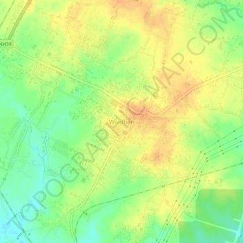
Name: Waidhan topographic map, elevation, terrain.
Location: Waidhan, Singrauli, Madhya Pradesh, India (24.04578 82.60687 24.08578 82.64687)
Average elevation: 284 m
Minimum elevation: 265 m
Maximum elevation: 297 m