
Uragasmanhandiya topographic map
Interactive map
Click on the map to display elevation.
About this map
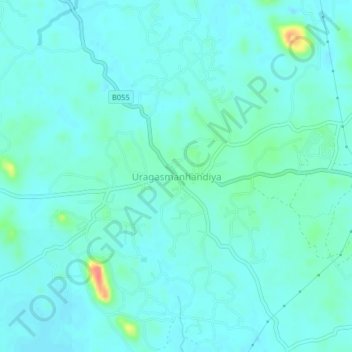
Name: Uragasmanhandiya topographic map, elevation, terrain.
Location: Uragasmanhandiya, Galle District, Southern Province, Sri Lanka (6.32318 80.06031 6.36318 80.10031)
Average elevation: 10 m
Minimum elevation: 0 m
Maximum elevation: 60 m