
Bhuragarh topographic map
Interactive map
Click on the map to display elevation.
About this map
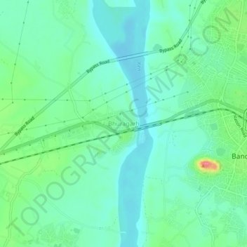
Name: Bhuragarh topographic map, elevation, terrain.
Location: Bhuragarh, Bānda, Banda, Uttar Pradesh, India (25.45906 80.28997 25.49906 80.32997)
Average elevation: 114 m
Minimum elevation: 91 m
Maximum elevation: 182 m