
Khanna topographic map
Interactive map
Click on the map to display elevation.
About this map
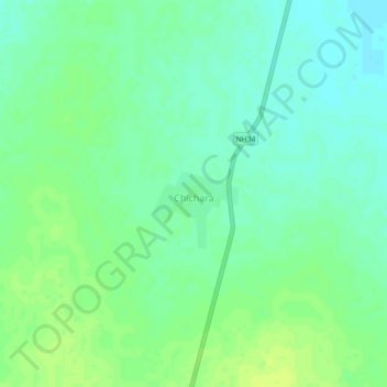
Name: Khanna topographic map, elevation, terrain.
Location: Khanna, Hamīrpur, Hamirpur, Uttar Pradesh, 210504, India (25.49497 80.02684 25.53497 80.06684)
Average elevation: 140 m
Minimum elevation: 132 m
Maximum elevation: 148 m