
Xi River topographic map
Interactive map
Click on the map to display elevation.
About this map
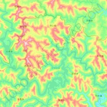
Name: Xi River topographic map, elevation, terrain.
Location: Xi River, Nanbu, Nanbu County, Nanchong City, Sichuan, PRC (31.52391 105.54812 31.66127 105.75519)
Average elevation: 533 m
Minimum elevation: 361 m
Maximum elevation: 806 m