
Meghdoot Gardens topographic map
Interactive map
Click on the map to display elevation.
About this map
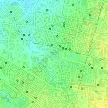
Name: Meghdoot Gardens topographic map, elevation, terrain.
Average elevation: 546 m
Minimum elevation: 534 m
Maximum elevation: 556 m
Other topographic maps
Click on a map to view its topography, its elevation and its terrain.
Ralamandal, Indore
India > Madhya Pradesh > Indore > Ralamandal, Indore
Ralamandal, Indore, Indore, Indore Tahsil, Indore, Madhya Pradesh, 452001, India
Average elevation: 581 m
Chambal River
India > Madhya Pradesh > Indore
Chambal River, Indore, Madhya Pradesh, 452001, India
Average elevation: 647 m
Shahid Bhagat Singh Udhyan
India > Madhya Pradesh > Indore
Shahid Bhagat Singh Udhyan, Vaishali Nagar, Indore, Madhya Pradesh, 452001, India
Average elevation: 553 m