
Melur topographic map
Interactive map
Click on the map to display elevation.
About this map
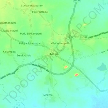
Name: Melur topographic map, elevation, terrain.
Location: Melur, Madurai District, Tamil Nadu, 625106, India (9.99090 78.29759 10.07090 78.37759)
Average elevation: 141 m
Minimum elevation: 121 m
Maximum elevation: 202 m
Melur has an average elevation of 149 metres (489 ft).