
Dendermonde topographic map
Interactive map
Click on the map to display elevation.
About this map
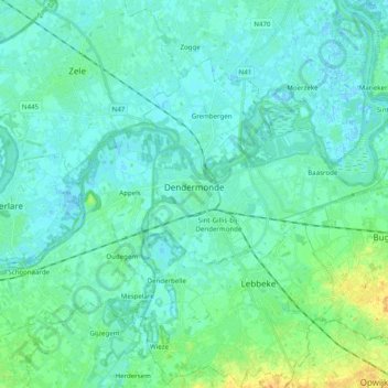
Name: Dendermonde topographic map, elevation, terrain.
Location: Dendermonde, East Flanders, Flanders, 9200, Belgium (50.98512 3.99666 51.07243 4.19402)
Average elevation: 6 m
Minimum elevation: -2 m
Maximum elevation: 26 m