
Monteroduni topographic map
Interactive map
Click on the map to display elevation.
About this map
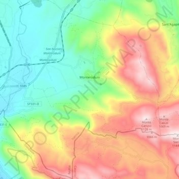
Name: Monteroduni topographic map, elevation, terrain.
Location: Monteroduni, Isernia, Molise, Italy (41.47977 14.12615 41.55496 14.21693)
Average elevation: 593 m
Minimum elevation: 202 m
Maximum elevation: 1,137 m