
Mandavi topographic map
Interactive map
Click on the map to display elevation.
About this map
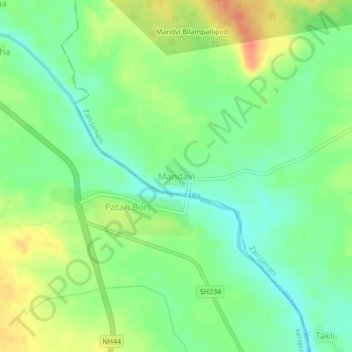
Name: Mandavi topographic map, elevation, terrain.
Location: Mandavi, Zari-Jamani, Yavatmal, Maharashtra, India (19.85361 78.56156 19.89361 78.60156)
Average elevation: 226 m
Minimum elevation: 205 m
Maximum elevation: 254 m