
Pindra topographic map
Interactive map
Click on the map to display elevation.
About this map
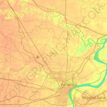
Name: Pindra topographic map, elevation, terrain.
Location: Pindra, Varanasi, Uttar Pradesh, India (25.35023 82.68332 25.57953 83.17775)
Average elevation: 79 m
Minimum elevation: 54 m
Maximum elevation: 96 m