
Razole topographic map
Interactive map
Click on the map to display elevation.
About this map
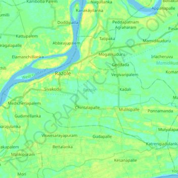
Name: Razole topographic map, elevation, terrain.
Location: Razole, Konaseema, Andhra Pradesh, India (16.41458 81.78784 16.51210 81.93907)
Average elevation: 8 m
Minimum elevation: -4 m
Maximum elevation: 19 m