
Thank you for supporting this site ❤️
Make a donation
Make a donation
Totla topographic map
Click on the map to display elevation.
Thank you for supporting this site ❤️
Make a donation
Make a donation
About this map
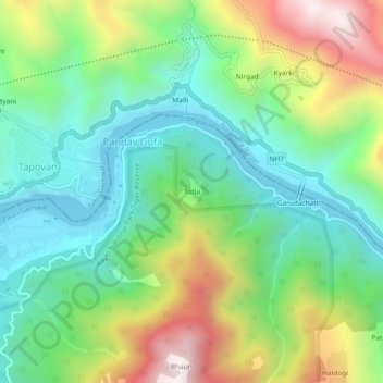
Name: Totla topographic map, elevation, terrain.
Location: Totla, Yamkeshwar, Pauri Garhwal, Uttarakhand, 249302, India (30.10698 78.32051 30.14698 78.36051)
Average elevation: 662 m
Minimum elevation: 341 m
Maximum elevation: 1,277 m
Thank you for supporting this site ❤️
Make a donation
Make a donation