
Kamle topographic map
Interactive map
Click on the map to display elevation.
About this map
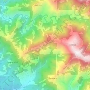
Name: Kamle topographic map, elevation, terrain.
Location: Kamle, Raksirang, Makwanpur, Bagmati Pradesh, Nepal (27.60900 84.74457 27.64900 84.78457)
Average elevation: 846 m
Minimum elevation: 398 m
Maximum elevation: 1,443 m