
Khurd topographic map
Interactive map
Click on the map to display elevation.
About this map
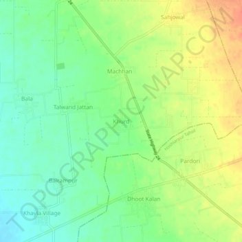
Name: Khurd topographic map, elevation, terrain.
Location: Khurd, Dasua Tahsil, Hoshiarpur, Punjab, India (31.68718 75.75856 31.72718 75.79856)
Average elevation: 296 m
Minimum elevation: 274 m
Maximum elevation: 323 m