
Parak Laweh Pulau Air Nan Xx topographic map
Interactive map
Click on the map to display elevation.
About this map
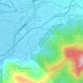
Name: Parak Laweh Pulau Air Nan Xx topographic map, elevation, terrain.
Location: Parak Laweh Pulau Air Nan Xx, West Sumatra, 25216, Indonesia (-0.99650 100.38745 -0.95650 100.42745)
Average elevation: 132 m
Minimum elevation: 9 m
Maximum elevation: 631 m