
Pal Lahara topographic map
Interactive map
Click on the map to display elevation.
About this map
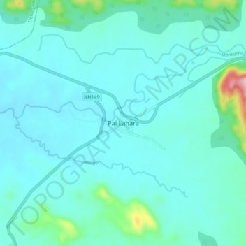
Name: Pal Lahara topographic map, elevation, terrain.
Location: Pal Lahara, Palalahada, Anugul, Odisha, 759119, India (21.39392 85.15023 21.47392 85.23023)
Average elevation: 166 m
Minimum elevation: 122 m
Maximum elevation: 478 m