
Songadh topographic map
Interactive map
Click on the map to display elevation.
About this map
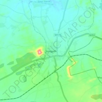
Name: Songadh topographic map, elevation, terrain.
Location: Songadh, Songadh Taluka, Tapi District, Gujarat, 394670, India (21.13021 73.52229 21.21021 73.60229)
Average elevation: 124 m
Minimum elevation: 75 m
Maximum elevation: 317 m
Other topographic maps
Click on a map to view its topography, its elevation and its terrain.