
Partabpura topographic map
Interactive map
Click on the map to display elevation.
About this map
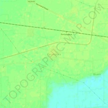
Name: Partabpura topographic map, elevation, terrain.
Location: Partabpura, Phillaur Tahsil, Jalandhar, Punjab, India (31.02376 75.69065 31.06376 75.73065)
Average elevation: 242 m
Minimum elevation: 233 m
Maximum elevation: 246 m