
Padhar topographic map
Interactive map
Click on the map to display elevation.
About this map
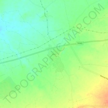
Name: Padhar topographic map, elevation, terrain.
Location: Padhar, Bhuj Taluka, Kachchh, Gujarat, 370105, India (23.22225 69.80395 23.26225 69.84395)
Average elevation: 117 m
Minimum elevation: 100 m
Maximum elevation: 140 m