
Gangnani (village) topographic map
Interactive map
Click on the map to display elevation.
About this map
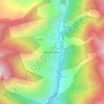
Name: Gangnani (village) topographic map, elevation, terrain.
Location: Gangnani (village), Bhatwari, Uttarkashi, Uttarakhand, India (30.89246 78.65581 30.93246 78.69581)
Average elevation: 2,514 m
Minimum elevation: 1,835 m
Maximum elevation: 3,267 m