
Attur topographic map
Interactive map
Click on the map to display elevation.
About this map
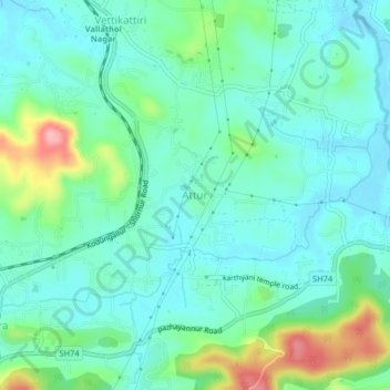
Name: Attur topographic map, elevation, terrain.
Location: Attur, Talappilly, Thrissur district, Kerala, 680583, India (10.69360 76.27105 10.73360 76.31105)
Average elevation: 56 m
Minimum elevation: 23 m
Maximum elevation: 160 m