
Chhatri topographic map
Interactive map
Click on the map to display elevation.
About this map
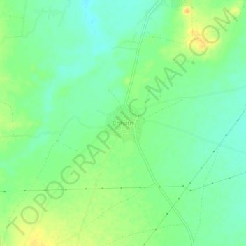
Name: Chhatri topographic map, elevation, terrain.
Location: Chhatri, Ajmer Tehsil, Ajmer, Rajasthan, 305023, India (26.54352 74.69330 26.58352 74.73330)
Average elevation: 465 m
Minimum elevation: 452 m
Maximum elevation: 481 m